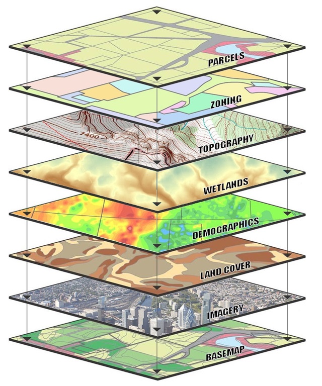
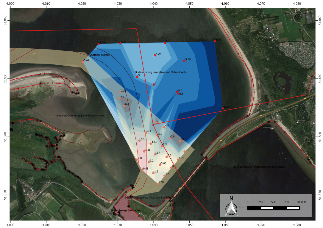
Integrate, process and visualize multiple geospatial information sources. Interfacing with heterogeneous data sources to deliver:
- Location maps
- Topographic, hydrographic, geological, environmental
- 3D visualizations
- Web based, interactive maps
- Project mapping